Sand Trackers Professor David Harbor and his Spring Term class chased particles of sand from the Blue Ridge Mountains to the Barrier Islands and the high plains of Utah.
By Louise Uffelman
June 4, 2018
Over Spring Term, David Harbor, professor of geology at W&L, introduced his class to Sand, a course that covered the origin of the igneous and metamorphic rocks and minerals of the Blue Ridge Mountains and then traced the journey of those eroded particles into the James River and down toward the barrier island beaches. The students also followed ancient pathways of wind-blown sand from the Appalachians to the western sand dunes and spectacular cliffs of Zion National Park on the Colorado Plateau of Utah.
“Sand is everywhere,” said Harbor. “It is between our toes at the beach, sweeping beneath us in rivers and blown against us in stinging desert storms. And yet, this ubiquitous, ordinary substance tells incredible stories of plate-tectonic upheavals, vast seas covering now-dry continents, and journeys through rivers, into inland deserts, and along ocean shores. This field-based seminar, which is open to all first-year students, demonstrates how geologists use observations in modern environments, along with detailed microscopic and field descriptions, to define the conditions of landscapes long past.”
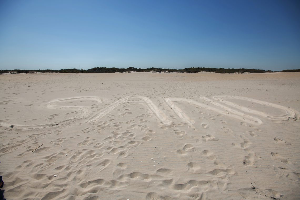
Here are a few pictures documenting some of their adventures.
First-years Hellen Li, Donald LeCompte, David Hotze, Chapin Bassi and Danny Lynch look at the saltation of sand grains in the IQ Center. This wind tunnel was built for the course by Emily Falls, geology technician.
Examining the sedimentary layering in a pit dug behind the berm at Assateague National Seashore beach. Students used what they found in these pits to understand older deposits on the Delmarva Peninsula.
Students constructed profiles of the beach and dunes using a tape and inclinometer. Here, co-instructor Liz Olson (third from left) helped Owen Hadden ’21, Hellen Li ’21, Mercer Peek ’21 and Brandon Carner ’21 (holding the tape) with the methodology.
Professor Dave Harbor explains the mechanism for the peculiar bedding in this pit in the upper beach at Assateague National Seashore.
Assateague Island: Explaining how to use the compass to obtain wind directions and orientation of beach profiles. L-R: Donald LeCompte ’21, David Hotze ’21, Hellen Li ’21 and Owen Hadden ’21.
Donald LeCompte ’21 gets a close-up photo of “swash bedding” laid down by the waves on Assateague National Seashore beach. The black layers are heavy mineral deposits likely laid down during storm events earlier in the spring.
Climbing the tallest star dune at Coral Pink Sand Dunes State Park in Utah.
David Harbor teaches the class how to obtain a GPS location and use a compass to take orientation measurements of the dune’s slipface.
Sitting on a dune crest at Coral Pink Sand Dunes State Park in Utah.
You must be logged in to post a comment.